Our present
research concerned on the geomorphic effect of historical mining of slate slabs
on small stream channels. The mining activity in the Nízký Jeseník Mts (Eastern
Sudetes) took place mainly in 19th century and almost all mines and
quarries were closed until 1950s. Unusable rocks were usually deposited on
dumps in front of the mine entrances and quarries. Dumps located on the
hillslopes adjacent to the channels and former floodplains were studied as
important inputs of coarse material for local streams and the alterations in
bed grain-sizes and channel morphologies were evaluated. The sediment supply from investigated dumps in
low-order (I-III.) channels often transformed channel-reach morphologies (pool-riffles
to plane beds), significantly altered adjacent and downstream caliber of bed sediments,
and decreased the bankfull width near the points of active sediment inputs. This
supply of larger grains into channels also increased potential stability of
channel beds. By increased transport capacity of a stream, the significance of
slate dumps as sediment inputs for evaluated supply limited or
transport-balanced streams decreased as expressed obtained results for larger
IV-order gravel-bed stream.
The paper has been recently published in Zeitschrift für Geomorphologie.
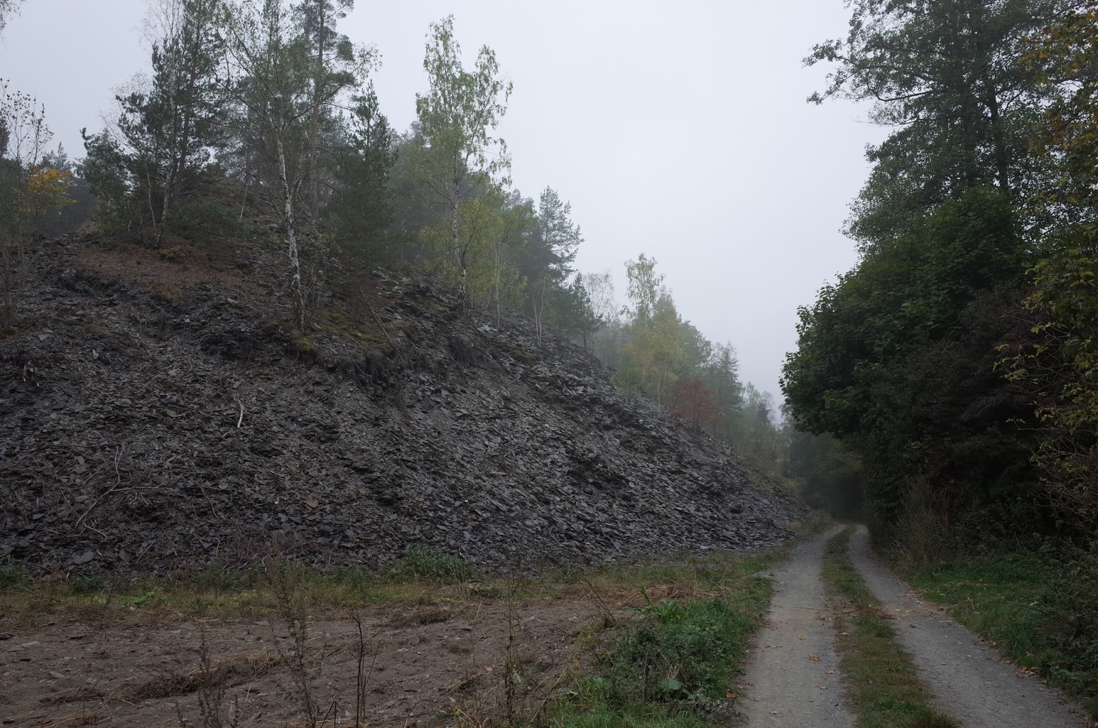 |
| Large slate dump in Deštná |
 |
| Slate dump coupled with the channel - the case of the Lobník Stream. |
 |
| Increased bed grain-sizes near the positions of active sediment inputs. Supplied slate slabs significantly exceed stream transport capacity calculated for bankfull flows. |


